

WherobotsAI
Accelerate insights from mobility data and aerial imagery with built in AI and ML.
WherobotsAI
Get more out of your SPATIAL DATA
Inference built for planetary image sets, backed by GPU based cluster computing options.


Put your spatial data to work with AI
Raster Inference (preview) eliminates time intensive, manual processing of imagery, so you can spend more time using insights and data vs manually scanning and classifying context in your datasets.
LEARN MORE
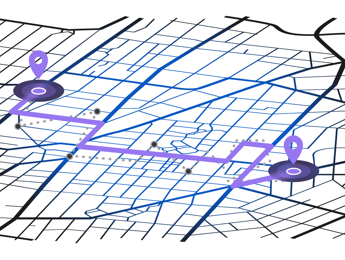
Automatically improve mobility data quality
Map matching snaps noisy GPS data to road segments with confidence, simplicity, at high performance and scale.

Work seamlessly with spatial AI from the languages you love
Easily run AI inference directly from SQL or Python in your Wherobots notebooks, your jobs and ETL tools, or your favorite BI applications.

Deploy instantly, run at petabyte scale
Run models instantly across petabyte scale image datasets to build quality features in your spatial tables.

Zero overhead, GPU accelerated processing
Wherobots Cloud handles the provisioning, compute, and DevOps so you can focus on getting value from your imagery. Leverage high powered NVIDIA GPU backed runtime options to superpower inference processing*.
*Note: GPU AI processing only available on professional+ plans
*Note: GPU AI processing only available on professional+ plans


