


Sign up for the RasterFlow Private Preview
Looking to run geospatial ML models at scale on satellite and aerial imagery? We’re inviting select developers to try RasterFlow and shape the future of our product.
With the Private Preview, you’ll be able to:
Generate Inference-Ready Mosaics
Seamlessly create mosaics from our built-in datasets (Sentinel-2, NAIP) or your own Cloud Optimized GeoTIFFs.
Run Earth Observation Models at Scale
Execute segmentation and regression models on imagery:
- Use leading open models including:
- Field Boundary Segmentation (Fields of the World)
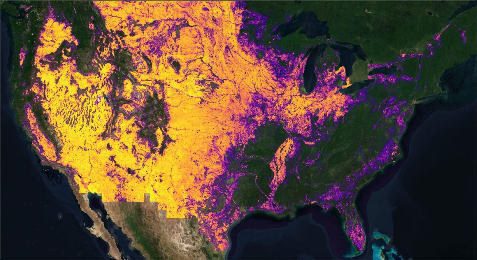
- Canopy Height Estimation (Meta/WRI Canopy Height)
- Rural Road Segmentation (ChesapeakeRSC)
- Sidewalk Segmentation (Tile2Net)
- Or, bring your own PyTorch models
Vectorize and Post-Process
Convert model outputs to geometries for further analysis and refinement in WherobotsDB.
Sign Up Today
This is an early preview with limited availability. We’re looking for developers interested in inference at scale and willing to provide feedback and shape the future of this product. We’ll schedule onboarding sessions with our experts to ensure your success!